

Social Feed
Hi, I just moved into a new home and would love to get either Dish or DirectTV but I may be facing some LOS issues. The property has many trees around it but there are some decent sized clear areas to the south and southwest. I've called both Dish and DirectTV asking for the azimuth and elevation for their multi satellite dishes but the response is that if I go ahead and order and the installer can't get a clear LOS, I'd get my money back and be under no obligation. I'd just as soon go out in the yard with a simple compass first but that doesn't seem to be the way they wish to do business.
Can anybody tell be how to calculate, or where I can look up, the information I need? I have a pretty good idea of which satellites I need to point to (3 for Dish, 2 for Direct) but I'm not sure how to calculate the azimuth and elevation for a multi satellite dish. Any help or pointers you can give me will be appreciated.
Thanks in advance,
Stuck with Cable in Yorktown, VA
Can anybody tell be how to calculate, or where I can look up, the information I need? I have a pretty good idea of which satellites I need to point to (3 for Dish, 2 for Direct) but I'm not sure how to calculate the azimuth and elevation for a multi satellite dish. Any help or pointers you can give me will be appreciated.
Thanks in advance,
Stuck with Cable in Yorktown, VA
3 Replies
·
7964 views


Supporting Founder
Lifetime Supporter
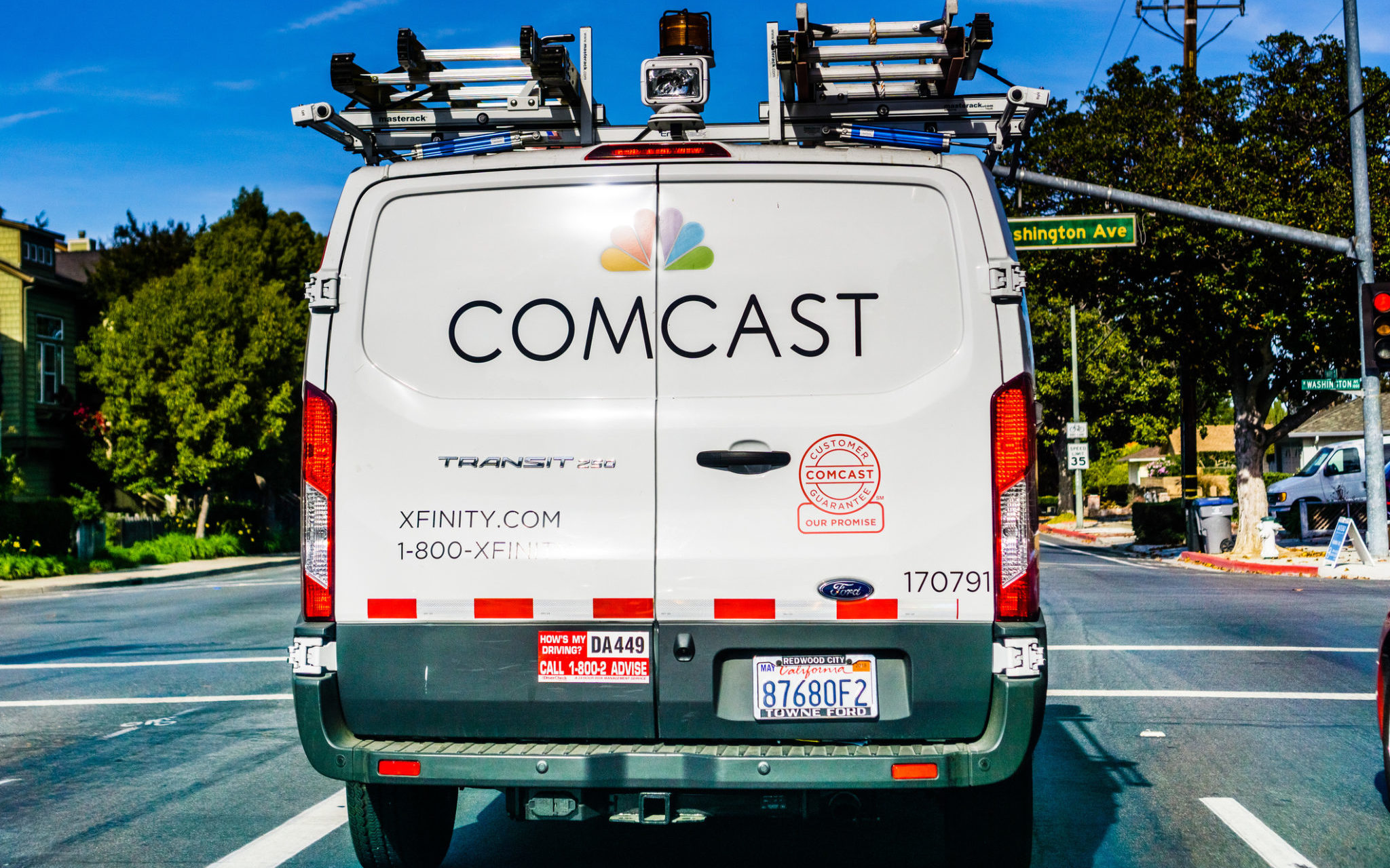
Comcast is the first to report, with a massive 274,000 loss in video subscribers.
In the 3Q of 2016, Comcast had 21.42 million video subscribers and was the #1 provider, now at 10.39 million and is the #3 Provider, YTTV is #2 ( who also surpassed DirecTV-8 Million and Dish-under 5 Million), Charter/Spectrum is #1.
 cordcuttersnews.com
In the 3Q of 2016, Comcast had 21.42 million video subscribers and was the #1 provider, now at 10.39 million and is the #3 Provider, YTTV is #2 ( who also surpassed DirecTV-8 Million and Dish-under 5 Million), Charter/Spectrum is #1.
Comcast Just Lost 274,000 TV Customers & 144,000 Internet Customers In Just Three Months | Cord Cutters News
Comcast Corporation reported its third-quarter 2026 results on October 22, showing continued erosion in its domestic residential broadband internet and video customer bases as competitive pressures intensified across the connectivity market. The company recorded a net loss of 144,000 domestic...
cordcuttersnews.com
12 Replies
·
668 views


Staff member
HERE TO HELP YOU!
Cutting Edge
Sometimes a thread gets so many posts in it that is can cause issues for the server so that why today we introduce The Song Name Game Part 3!
So let the game continue!
The last song was added by Bobby who posted...
One Meat Ball - Andrews Sisters
CONTINUE ON AND HAVE FUN! WELCOME HOME TO SATELLITEGUYS.US!
Here are the original rules for the game as posted by WebbyDude back in 2006. http://www.satelliteguys.us/threads/68645-Song-Name-Game
Just name a song title and the band who performed it. The next person does the same thing, but needs to list a song title or band name which includes a word from the previous entry. Pick songs from any genre.
Example:
Long Live Rock and Roll -- Rainbow
Rainbow in the Dark -- Dio
Another example:
Ride the Lightning -- Metallica
Lightning Strikes -- Ozzy Osbourne
Get it?
An additional note: we all know that song titles, sometimes, use profane words. Because this is a family friendly website it is advised that you clean up that title up a bit. This is accomplished by using something like sh!t instead of the real word. Thanks....
So let the game continue!
The last song was added by Bobby who posted...
One Meat Ball - Andrews Sisters
CONTINUE ON AND HAVE FUN! WELCOME HOME TO SATELLITEGUYS.US!
Here are the original rules for the game as posted by WebbyDude back in 2006. http://www.satelliteguys.us/threads/68645-Song-Name-Game
Just name a song title and the band who performed it. The next person does the same thing, but needs to list a song title or band name which includes a word from the previous entry. Pick songs from any genre.
Example:
Long Live Rock and Roll -- Rainbow
Rainbow in the Dark -- Dio
Another example:
Ride the Lightning -- Metallica
Lightning Strikes -- Ozzy Osbourne
Get it?
An additional note: we all know that song titles, sometimes, use profane words. Because this is a family friendly website it is advised that you clean up that title up a bit. This is accomplished by using something like sh!t instead of the real word. Thanks....
68758 Replies
·
2685386 views


Ham Radio 2.0
Time for another AWESOME video from Ham Radio 2.0!
View: https://www.youtube.com/watch?v=CFoqfrcM8pw
Direct YouTube Link - The Best Black Friday Deals for Off-Grid Comms Right Now!
Ham Radio 2.0 Website
Ham Radio 2.0 on Facebook
View: https://www.youtube.com/watch?v=CFoqfrcM8pw
Direct YouTube Link - The Best Black Friday Deals for Off-Grid Comms Right Now!
Ham Radio 2.0 Website
Ham Radio 2.0 on Facebook
0 Replies
·
20 views
TWiT Tech Podcast Network
Time for another AWESOME video from the TWIT Network!
View: https://www.youtube.com/shorts/V6XzeaKDC0Y
Direct YouTube Link - AI Hiking Advice Nearly Turns Deadly on Mount Shasta #shorts
TWIT's Website
TWIT Live Feed
View: https://www.youtube.com/shorts/V6XzeaKDC0Y
Direct YouTube Link - AI Hiking Advice Nearly Turns Deadly on Mount Shasta #shorts
TWIT's Website
TWIT Live Feed
0 Replies
·
5 views
TWiT Tech Podcast Network
Time for another AWESOME video from the TWIT Network!
View: https://www.youtube.com/watch?v=yH-9zj0f7jQ
Direct YouTube Link - Google's AI Ultimatum for Schools
TWIT's Website
TWIT Live Feed
View: https://www.youtube.com/watch?v=yH-9zj0f7jQ
Direct YouTube Link - Google's AI Ultimatum for Schools
TWIT's Website
TWIT Live Feed
0 Replies
·
18 views
TWiT Tech Podcast Network
Time for another AWESOME video from the TWIT Network!
View: https://www.youtube.com/watch?v=8m4uwajewUU
Direct YouTube Link - Religious Exemption from Using AI?
TWIT's Website
TWIT Live Feed
View: https://www.youtube.com/watch?v=8m4uwajewUU
Direct YouTube Link - Religious Exemption from Using AI?
TWIT's Website
TWIT Live Feed
0 Replies
·
4 views
TWiT Tech Podcast Network
Time for another AWESOME video from the TWIT Network!
View: https://www.youtube.com/watch?v=Zd5TCAV3Cek
Direct YouTube Link - The Binance Crypto Heist
TWIT's Website
TWIT Live Feed
View: https://www.youtube.com/watch?v=Zd5TCAV3Cek
Direct YouTube Link - The Binance Crypto Heist
TWIT's Website
TWIT Live Feed
0 Replies
·
18 views
Lon.TV
Time for another AWESOME video from Lon Seidman of LON.TV!
View: https://www.youtube.com/watch?v=o62FsJ2V5Cc
Direct YouTube Link - HP's Answer to the MacBook Neo? OmniBook 5 14 Review
The Official LON.TV Website
Lon on Facebook
View: https://www.youtube.com/watch?v=o62FsJ2V5Cc
Direct YouTube Link - HP's Answer to the MacBook Neo? OmniBook 5 14 Review
The Official LON.TV Website
Lon on Facebook
0 Replies
·
15 views

Pub Member / Supporter
Lifetime Supporter
Good...simple humor. Enjoy
View: https://www.youtube.com/watch?v=E92AtfTLge4
View: https://www.youtube.com/watch?v=HJy0WnejlF4
View: https://www.youtube.com/watch?v=E92AtfTLge4
View: https://www.youtube.com/watch?v=HJy0WnejlF4
7 Replies
·
214 views


