Done!
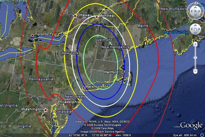
Some interesting things to see. If you really need to get some of these markets and have the money, a big dish will work wonders all the way out to the red zone.
Detailed footprints are available for any area.
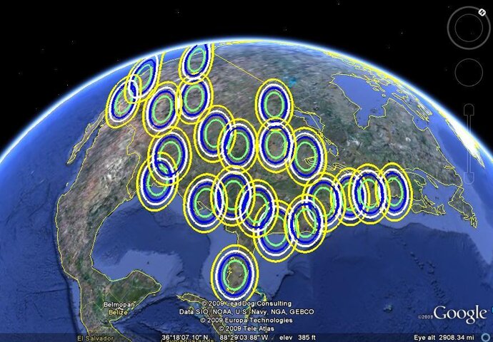
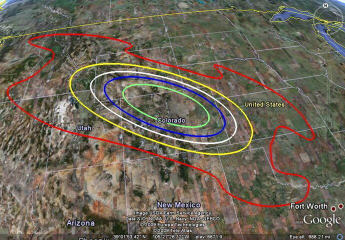
I am attaching thumnails of a large area Western spot and a national map of the 50 dBw contours (standard antenna).
Some interesting things to see. If you really need to get some of these markets and have the money, a big dish will work wonders all the way out to the red zone.
Detailed footprints are available for any area.
I am attaching thumnails of a large area Western spot and a national map of the 50 dBw contours (standard antenna).
") .
.