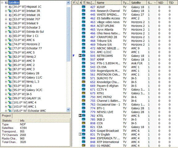
Just looking for input. I know from what I went through and from people on the forum ask, that sometimes combining information about what channels are on which sats and where those sats are and what they are called, there must be a better/different way of creating a list of info.
What sort of interface would you guys like to see for FTA channels & sats? I know what I wind up doing is looking at a combination of lyngsat and thelist and then switching over to either skyvision's or NPS' sat chart to find out what the crazy thing is called in the 4dtv.
It can get really confusing when the names of the sats have changed.
anyway, I wasted.. I mean.. I spent... I mean I worked really hard on work-related stuff all afternoon and did not spend any time playing around with ways to combine the information.
One thought I had was a sort of Sat Arc (like skyvisions) in Flash. Then when you mouse over the Sat on the arc, you'd get a sort of magnified view of it that would show something like
"AMC9 83West
4dtv: W9
C and Ku" (or something like that)
then if you clicked on it, either redirect over to thelist/lyngsat for feed info, or pull from the database I worked on for Sadoun (which, if I do say so myself, is a nice way to be able to sort channels: hint hint, plug for Sadoun)
anyway.. any input? thoughts? think I'm nuts? (most do)