
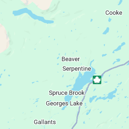
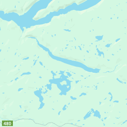
Your location:
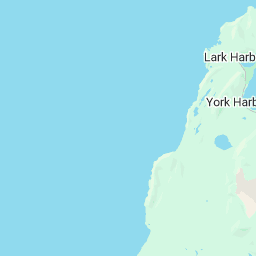
CANADA - NL - Corner Brook North Latitude: 48.967
West Longitude: 57.95 Please verify that the center of the map is near your actual location,
if it is within the map, you will get accurate readings.

[ame="http://maps.google.com/maps?ll=48.967,-57.95&spn=0.225391,0.686646&z=10&key=ABQIAAAA9HGFCnudowFixI0FQCI0MhRafBhaXaRxmmouxPiOAmrDXuerVBRXtclGsNg_yCveGVlCEQjBsZg8rA&mapclient=jsapi&oi=map_misc&ct=api_logo"]
 [/ame]

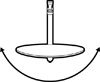 True Azimuth: 229.1
Magn. Azimuth: 250.33 Magnetic azimuth should be used when using an uncorrected compass.
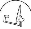 Dish Elevation: 21.6
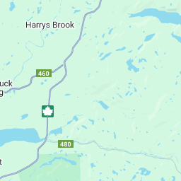
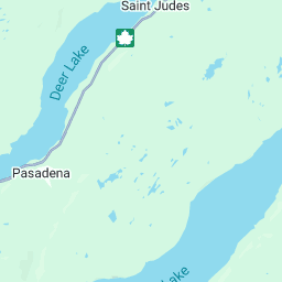
when looking for a signal whitch 1 do i use the True Azimuth: 229.1 or the Magn. Azimuth: 250.33 ,Magnetic azimuth should be used when using an uncorrected compass. can someone explan a little beacuse i get mixed up .CANADA - NL - Corner Brook North Latitude: 48.967
West Longitude: 57.95 Please verify that the center of the map is near your actual location,
if it is within the map, you will get accurate readings.
[ame="http://maps.google.com/maps?ll=48.967,-57.95&spn=0.225391,0.686646&z=10&key=ABQIAAAA9HGFCnudowFixI0FQCI0MhRafBhaXaRxmmouxPiOAmrDXuerVBRXtclGsNg_yCveGVlCEQjBsZg8rA&mapclient=jsapi&oi=map_misc&ct=api_logo"]
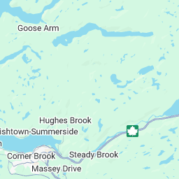
Map data ©2009 Tele Atlas - Terms of Use
Map
Satellite
Hybrid
Satellite
Hybrid
Magn. Azimuth: 250.33 Magnetic azimuth should be used when using an uncorrected compass.


