For 35.5N, axis elevation would be 36.63? No way.
Modified axis declination would indeed be about 36. And with axis declination = 36, axis elevation would be 90-36 = 54 degrees.
See post #40: "At Latitude = 35N, axis elevation = 54.4 (modified angle), and declination offset angle (modified) = 5.0 degrees."
So the total dish declination value of about 41 degrees is indeed right.
Elevation means number of degrees UP (backwards), from vertical position=0 degrees.
Declination means number of degrees down (forwards), from horizontal position=0 degrees.
Elevation = 90 - declination.
Declination = 90 - elevation.
So I guess there's a bad mixup in terminology, and as a result of that, of which numbers to use, from TVROsat.
They write Your elevation angle is approximately equal to your geographical latitude.
But that should have been Your elevation angle is approximately equal to 90 degrees minus your geographical latitude.
However in the picture, they indicate the angles right.
The chart again uses the incorrect term 'elevation angle', for the value of the 'modified latitude angle'.
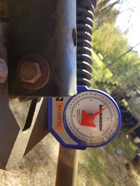
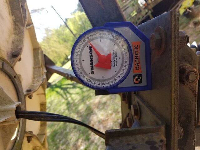
As your pictures with the inclinometer are taken from so near, I cannot see where you were measuring. So I cannot comment on that.
Greetz,
A33

") .
.

