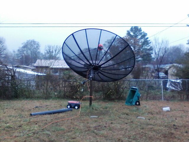
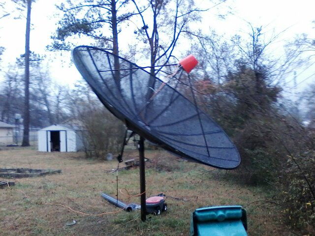
I got my 10.5 foot dish up yesterday and found the arc within an hour, but I need help peaking my dish. When I get toward the ends of the arc, the signal is not as strong.
My true out Sat is 87W, and the signal quality on the Manhattan 1997 shows I'm getting over 90 percent, but when I get to 121W, the signal is down in the high 40s. When I lift up on the edge of the dish when I'm 121, the signal disappears, but pushing down on it, it jumps up into the 60s and 70s.
I can't remember, when you push down and the dish and improve the signal, do you turn the dish on the pole that direction or the opposite direction?
thanks
cpsp0
 The adjustment needed for your dish depends on whether you are experiencing signal drop at either one end or both ends of the arc. Here is a link to a guide that was written by one of the members a few years back. Pages 33 - 35 have the info you need to determine which setting is off.
 ")