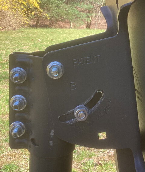
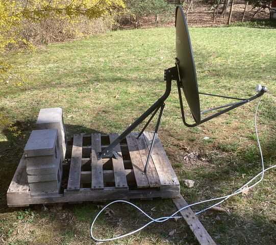
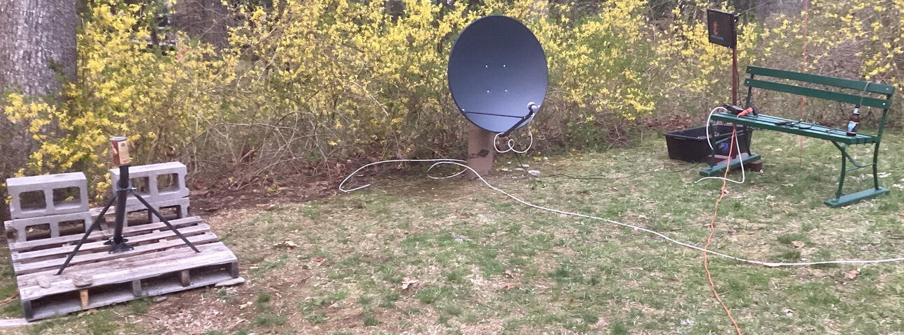
Would someone mind helping me understand the next step to perform after a Moteck SG-2100 satellite motor has been mounted properly to a pole cemented in the ground and the satellite dish has been attached.
I'm reading two different set of instructions and need help on which direction to go.
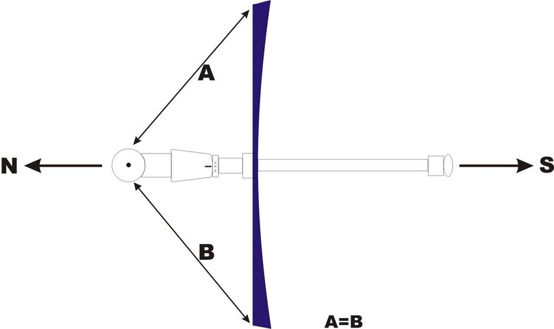
Apparently, the next step to perform after everything in mounted to the pole is to aim the dish true south. This is where I'm confused. I'm reading two different ways to go about this.
1. One set of instructions tells the user to open the dishpointer app and guess which satellite is in the middle of the satellite arc over your area. Then base calculations you need for the motor and the dish off of it.
2. The second set of instructions I have read says to first determine where TRUE SOUTH is and then point the dish in that direction.
I'm leaning to believe that option # 2 is the better way to go. Is this correct?
At dishpointer.com, I can select under 'Motorized Systems' the Moteck SG2100. Also available under this option is the option for TRUE SOUTH / TRUE NORTH. I checked both options and both yielded the same exact info:
Latitude: 41.6120°
Longitude: -73.7934°
Satellite: Moteck SG2100
Elevation: 41.9°
Azimuth (true): 180.0°
Azimuth (magn.): 193.0°
Latitude: 41.6120°
Longitude: -73.7934°
Satellite: True South / True North
Elevation: 41.9°
Azimuth (true): 180.0°
Azimuth (magn.): 193.0°
Other info
Satellite Data
Name: True South / True North
Distance: 37638km
Dish Setup Data
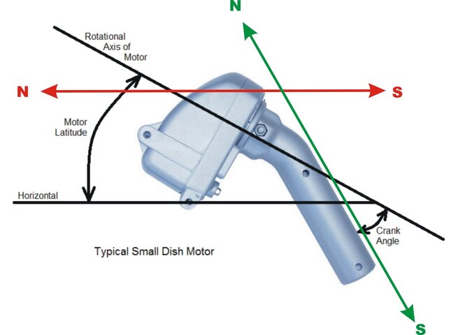
Motor Latitude: 41.6°
Declination Angle: 6.4°
Dish Elevation: --°
Azimuth (true): 180.0°
Azimuth (magn.): 193.0°
Satellite Data
Name: Moteck SG2100
Distance: 37638km
Dish Setup Data
Motor Latitude: 41.6°
Declination Angle: 6.4°
Dish Elevation: 24°
Azimuth (true): 180.0°
Azimuth (magn.): 193.0°
If option 2 is the right direction to pursue it seems that the next step is to determine the following:
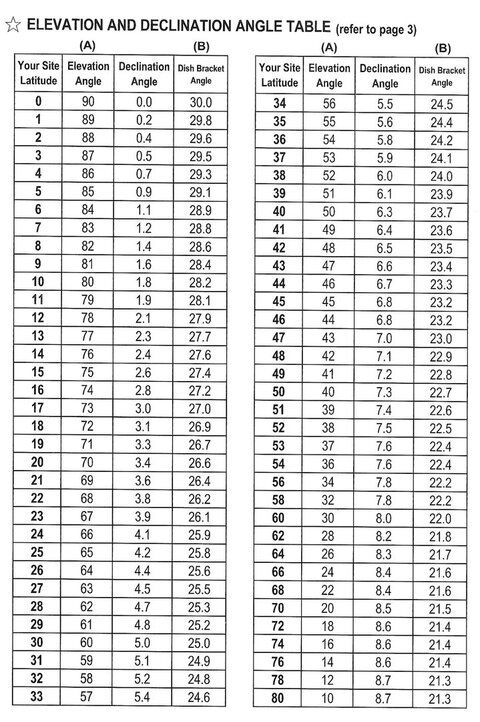
Declination angel for Latitude: 41.6120° = 6.4°
Elevation 41.9° - 6.4° Declination angel = 35.5° elevation of southern most part of the satellite arc
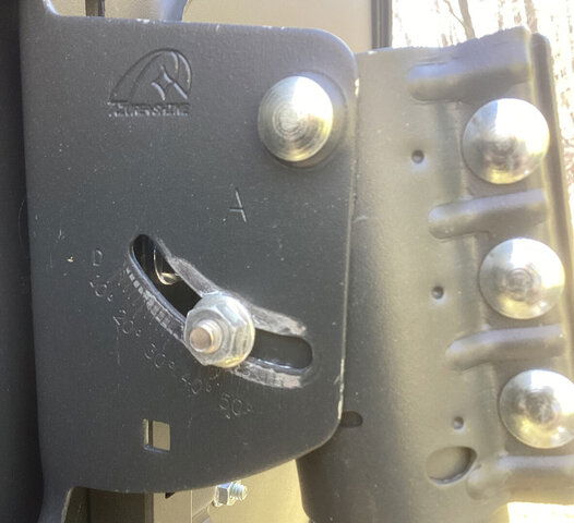
Set Motor mount bracket to latitude to 41.6120°
Set Satellite dish bracket to 35.5°
Aim dish to Azimuth (true): 180.0°
On receiver set Motor settings as follows
Motor type:USALS
Local Longitude:-73.7934°
Local Latitude: 41.6120°
Go to: Zero
So is this heading in the right direction or have I missed something?
Thank you for your help!


